किपा:BlankMap-Afghanistan34Provinces.png

Size of this preview: ७८० × ५९९ pixels. Other resolutions: ३१२ × २४० pixels | ६२५ × ४८० pixels | ९९९ × ७६८ pixels | १,२८० × ९८४ pixels | १,६९८ × १,३०५ pixels.
Original file (१,६९८ × १,३०५ pixels, file size: ४० KB, MIME type: image/png)

|
This locator map image could be re-created using vector graphics as an SVG file. This has several advantages; see Commons:Media for cleanup for more information. If an SVG form of this image is available, please upload it and afterwards replace this template with
{{vector version available|new image name}}.
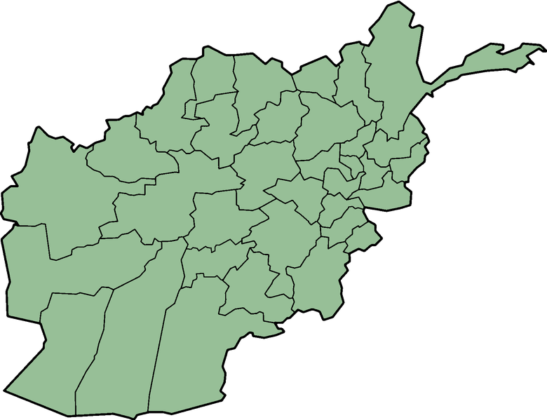
It is recommended to name the SVG file “BlankMap-Afghanistan34Provinces.svg”—then the template Vector version available (or Vva) does not need the new image name parameter. |
Licensing

|
Permission is granted to copy, distribute and/or modify this document under the terms of the GNU Free Documentation License, Version 1.2 or any later version published by the Free Software Foundation; with no Invariant Sections, no Front-Cover Texts, and no Back-Cover Texts. A copy of the license is included in the section entitled GNU Free Documentation License. |
| This file is licensed under the Creative Commons Attribution-Share Alike 3.0 Unported license. | ||
| ||
| This licensing tag was added to this file as part of the GFDL licensing update. |
from source file en:Image:BlankMap-AfghanistanProvinces.png, original document (32 provinces) created by en:User:Morwen edited for the border of 2 new provinces : Daikondi & Panjshir (total 34 provinces)
File history
Click on a date/time to view the file as it appeared at that time.
| Date/Time | Thumbnail | Dimensions | छ्य्लामि | Comment | |
|---|---|---|---|---|---|
| current | २२:०४, १९ अगस्ट २००५ | | १,६९८ × १,३०५ (४० KB) | En rouge | {{GFDL}} Category:Provinces of Afghanistan from source file en:Image:BlankMap-AfghanistanProvinces.png, original document created by en:User:Morwen |
File usage
There are no pages that use this file.
Global file usage
The following other wikis use this file:
- Usage on ca.wikipedia.org
- Plantilla:Províncies de l'Afganistan
- Província de Samangan
- Badghis
- Província de Farah
- Província de Ghur
- Província d'Herat
- Província de Kabul
- Província de Kandahar
- Província de Nangarhar
- Província de Balkh
- Província de Baghlan
- Província de Badakhxan
- Província de Bamiyan
- Província de Daykundi
- Província de Khost
- Província de Kunduz
- Província de Faryab
- Província de Laghman
- Província de Ghazni
- Província de Helmand
- Província de Jowzjan
- Província de Kapisa
- Província de Kunar
- Província de Lowgar
- Província de Nimruz
- Nuristan
- Província d'Oruzgan
- Província de Paktia
- Província de Paktika
- Província de Panjshir
- Província de Parwan
- Província de Sar-e Pol
- Província de Takhar
- Província de Wardak
- Província de Zabul
- Usage on crh.wikipedia.org
View more global usage of this file.