किपा:Iran location map.svg

Size of this PNG preview of this SVG file: ६७२ × ६०० pixels. Other resolutions: २६९ × २४० pixels | ५३८ × ४८० pixels | ८६१ × ७६८ pixels | १,१४७ × १,०२४ pixels | २,२९५ × २,०४८ pixels | १,२०० × १,०७१ pixels.
Original file (SVG file, nominally १,२०० × १,०७१ pixels, file size: २९९ KB)
Summary
| Description |
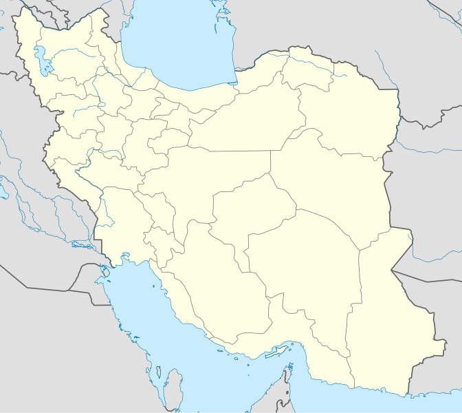
English: Location map of Iran.
Equirectangular projection. Stretched by 118.0%. Geographic limits of the map: * N: 40.0° N * S: 24.5° N * W: 43.5° E * E: 64.0° EMade with Natural Earth. Free vector and raster map data @ naturalearthdata.com. |
| Date | |
| Source | Own work |
| Author | Uwe Dedering |
| Other versions |
Derivative works of this file:
|
| SVG genesis | This W3C-invalid map was created with Adobe Illustrator, and with Inkscape. |

Licensing
I, the copyright holder of this work, hereby publish it under the following licenses:
This file is licensed under the Creative Commons Attribution-Share Alike 3.0 Unported license.
- You are free:
- to share – to copy, distribute and transmit the work
- to remix – to adapt the work
- Under the following conditions:
- attribution – You must give appropriate credit, provide a link to the license, and indicate if changes were made. You may do so in any reasonable manner, but not in any way that suggests the licensor endorses you or your use.
- share alike – If you remix, transform, or build upon the material, you must distribute your contributions under the same or compatible license as the original.

|
Permission is granted to copy, distribute and/or modify this document under the terms of the GNU Free Documentation License, Version 1.2 or any later version published by the Free Software Foundation; with no Invariant Sections, no Front-Cover Texts, and no Back-Cover Texts. A copy of the license is included in the section entitled GNU Free Documentation License. |
You may select the license of your choice.
File history
Click on a date/time to view the file as it appeared at that time.
| Date/Time | Thumbnail | Dimensions | छ्य्लामि | Comment | |
|---|---|---|---|---|---|
| current | ०७:५९, २२ अक्टोबर २०१३ | | १,२०० × १,०७१ (२९९ KB) | NordNordWest | Reverted to version as of 17:55, 15 April 2013; no reason for change given |
| १३:४४, २१ अक्टोबर २०१३ |  | १,२०० × १,०७१ (६४० KB) | Ekivalan | Reverted to version as of 17:38, 12 April 2013 | |
| १३:४३, २१ अक्टोबर २०१३ |  | १,२०० × १,०७१ (६४० KB) | Ekivalan | Reverted to version as of 17:38, 12 April 2013 | |
| १७:५५, १५ अप्रिल २०१३ |  | १,२०० × १,०७१ (२९९ KB) | NordNordWest | according to http://images.persianblog.ir/516041_B0b76ypr.jpg + Tabas -> South Khorasan province | |
| १७:४०, १२ अप्रिल २०१३ |  | १,२०० × १,०७१ (६४० KB) | Yamaha5 | Reverted to version as of 20:08, 11 July 2010 | |
| १७:३८, १२ अप्रिल २०१३ |  | १,२०० × १,०७१ (६४० KB) | Yamaha5 | Reverted to version as of 20:08, 11 July 2010 in all maps khorasan is like past! | |
| ११:३०, १७ मार्च २०१३ |  | १,२०० × १,०७१ (२९४ KB) | NordNordWest | upd | |
| २०:०८, ११ जुलाई २०१० |  | १,२०० × १,०७१ (६४० KB) | Uwe Dedering | 31. province Alborz | |
| १७:४४, १८ फेब्रुवरी २०१० |  | १,२०० × १,०७१ (७०५ KB) | Uwe Dedering | Bahrain above water, no disputed countries | |
| १३:००, १८ फेब्रुवरी २०१० |  | १,२०० × १,०७१ (७०९ KB) | Uwe Dedering | {{Information |Description={{en|1=Location map of Iran. Equirectangular projection. Strechted by 118.0%. Geographic limits of the map: * N: 40.0° N * S: 24.5° N * W: 43.5° E * E: 64.0° E Made with Natural Earth. Free vector and raster map data @ |
File usage
The following 3 pages use this file:
Global file usage
The following other wikis use this file:
- Usage on af.wikipedia.org
- Usage on als.wikipedia.org
- Usage on an.wikipedia.org
- Usage on ar.wikipedia.org
- محمد بن إسماعيل البخاري
- طهران
- صحيح مسلم
- محافظات إيران
- فخر الدين الرازي
- كأس آسيا 1968
- كأس آسيا 1976
- مسلم بن الحجاج
- قالب:خريطة مواقع إیران
- مشهد
- زلزال بم 2003
- تفجيرات زاهدان 2010
- زلزال طبس 1978
- بطولة آسيا للناشئين تحت 16 عاما 2012
- قائمة المفكرين المسيحيين في العلم
- مرتضى الأنصاري
- زلزال تبريز 2012
- شعيطة (رامشير)
View more global usage of this file.