किपा:Map of Florida highlighting Hillsborough County.svg

Size of this PNG preview of this SVG file: ६०१ × ५९९ pixels. Other resolutions: २४१ × २४० pixels | ४८१ × ४८० pixels | ७७० × ७६८ pixels | १,०२७ × १,०२४ pixels | २,०५४ × २,०४८ pixels | ७,३४२ × ७,३२१ pixels.
Original file (SVG file, nominally ७,३४२ × ७,३२१ pixels, file size: ३१० KB)
Summary
| Description |
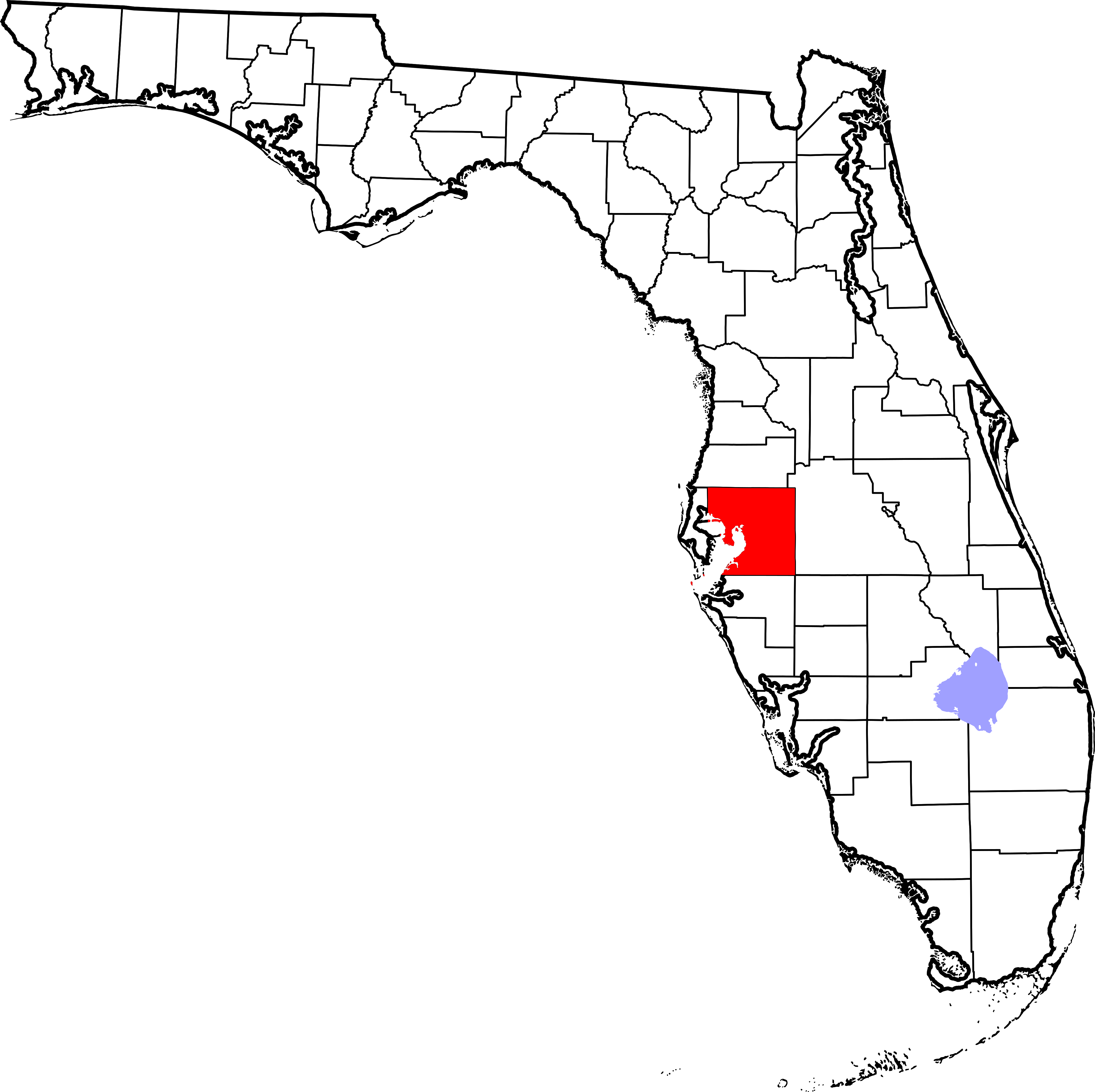
English: This is a locator map showing Hillsborough County in Florida. For more information, see Commons:United States county locator maps. |
| Date | |
| Source |
Own work: English: The maps use data from nationalatlas.gov, specifically countyp020.tar.gz on the Raw Data Download page. The maps also use state outline data from statesp020.tar.gz. The Florida maps use hydrogm020.tar.gz to display Lake Okeechobee. |
| Author | David Benbennick |
| Other versions | Derivative works of this file: National Weather Service Tampa, Florida county warning area.svg |
Licensing
| I, the copyright holder of this work, release this work into the public domain. This applies worldwide. In some countries this may not be legally possible; if so: I grant anyone the right to use this work for any purpose, without any conditions, unless such conditions are required by law. |
File history
Click on a date/time to view the file as it appeared at that time.
| Date/Time | Thumbnail | Dimensions | छ्य्लामि | Comment | |
|---|---|---|---|---|---|
| current | ०५:३६, १४ फेब्रुवरी २००६ | | ७,३४२ × ७,३२१ (३१० KB) | David Benbennick | New version with Lake Okeechobee |
| १०:४१, १२ फेब्रुवरी २००६ |  | ७,३४२ × ७,३२१ (३०७ KB) | David Benbennick | {{subst:User:Dbenbenn/clm|county=Hillsborough County|state=Florida}} |
File usage
The following page uses this file:
Global file usage
The following other wikis use this file:
- Usage on ar.wikipedia.org
- Usage on bg.wikipedia.org
- Usage on bpy.wikipedia.org
- Usage on ca.wikipedia.org
- Tampa
- Apollo Beach
- Bloomingdale (Florida)
- Boyette
- Brandon (Florida)
- Cheval
- Citrus Park
- Dover (Florida)
- East Lake-Orient Park
- Egypt Lake-Leto
- Fish Hawk
- Gibsonton
- Greater Carrollwood
- Greater Northdale
- Keystone (Florida)
- Lake Magdalene
- Lutz (Florida)
- Mango (Florida)
- Palm River-Clair Mel
- Pebble Creek
- Plant City
- Progress Village
- Ruskin (Florida)
- Seffner
- Temple Terrace
- Thonotosassa
- Town 'n' Country
- University
- Valrico
- Westchase
- Wimauma
- Reserva índia de Tampa
- Plantilla:Comtat de Hillsborough, Florida
- Usage on ceb.wikipedia.org
- Usage on ce.wikipedia.org
- Usage on cs.wikipedia.org
- Usage on cy.wikipedia.org
- Usage on de.wikipedia.org
View more global usage of this file.