किपा:Ramechhap district location.png
No higher resolution available.
Ramechhap_district_location.png (८०० × ५५० pixels, file size: ३० KB, MIME type: image/png)
| Description |
|
||||||||||
| Date | |||||||||||
| Source |
|
||||||||||
| Author | Hégésippe Cormier aka Hégésippe | ||||||||||
| Permission (Reusing this file) |
This file is licensed under the Creative Commons Attribution-Share Alike 2.0 France license.
 |

File history
Click on a date/time to view the file as it appeared at that time.
| Date/Time | Thumbnail | Dimensions | छ्य्लामि | Comment | |
|---|---|---|---|---|---|
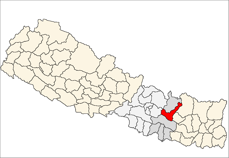
| current | १९:४२, १४ अप्रिल २००७ | | ८०० × ५५० (३० KB) | Hégésippe Cormier | {{Information |Description= <table cellpadding="4" style="border: 1px solid #ccc"> <tr><td>{{fr}}</td><td align="right">Carte de localisation du</td><td>'''district de Ramechhap'''</td><td>(wp-FR),</td><td>au '''[[w:fr:Népa |
File usage
The following 2 pages use this file:
Global file usage
The following other wikis use this file:
- Usage on bh.wikipedia.org
- Usage on bn.wikipedia.org
- Usage on bpy.wikipedia.org
- Usage on da.wikipedia.org
- Usage on dty.wikipedia.org
- Usage on en.wikipedia.org
- Usage on fa.wikipedia.org
- Usage on fi.wikipedia.org
- Usage on hif.wikipedia.org
- Usage on it.wikipedia.org
- Usage on mai.wikipedia.org
- रामेछाप जिला
- कुबुकस्थली
- खनियापानी
- खाँडादेवी
- खिम्ती
- गुन्सी भदौरे
- हिलेदेवी
- गुप्तेश्वर, रामेछाप
- हिमगंगा
- गुम्देल
- सैपु
- गेलु
- गोठगाउँ
- गोश्वारा
- चनखु
- साँघुटार
- चुचुरे
- बाम्ती
- टोकरपुर
- ठोसे
- लखनपुर, रामेछाप
- तिल्पुंग
- रामपुर, रामेछाप
- राकाथुम
- रस्नालु
- माकादुम
- डडुवा
- मजुवा, रामेछाप
- भुजी
- दिमीपोखरी
- भीरपानी
- भदौरे, रामेछाप
- दुरागाउँ
- बेथान
- बेताली
- बिजुलीकोट
- फुलासी
- फर्पु
View more global usage of this file.